


Walks, Waterfalls & Rainforest Trails
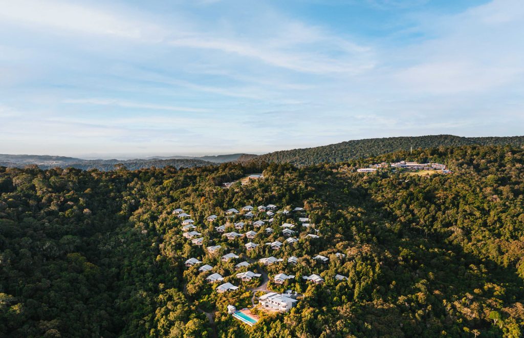
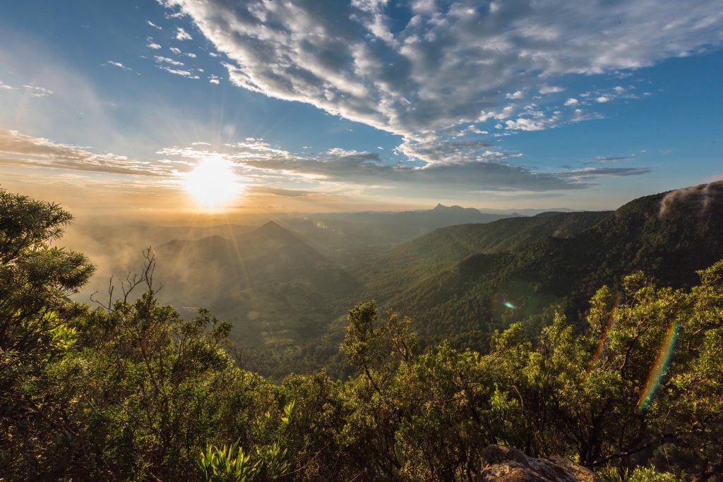
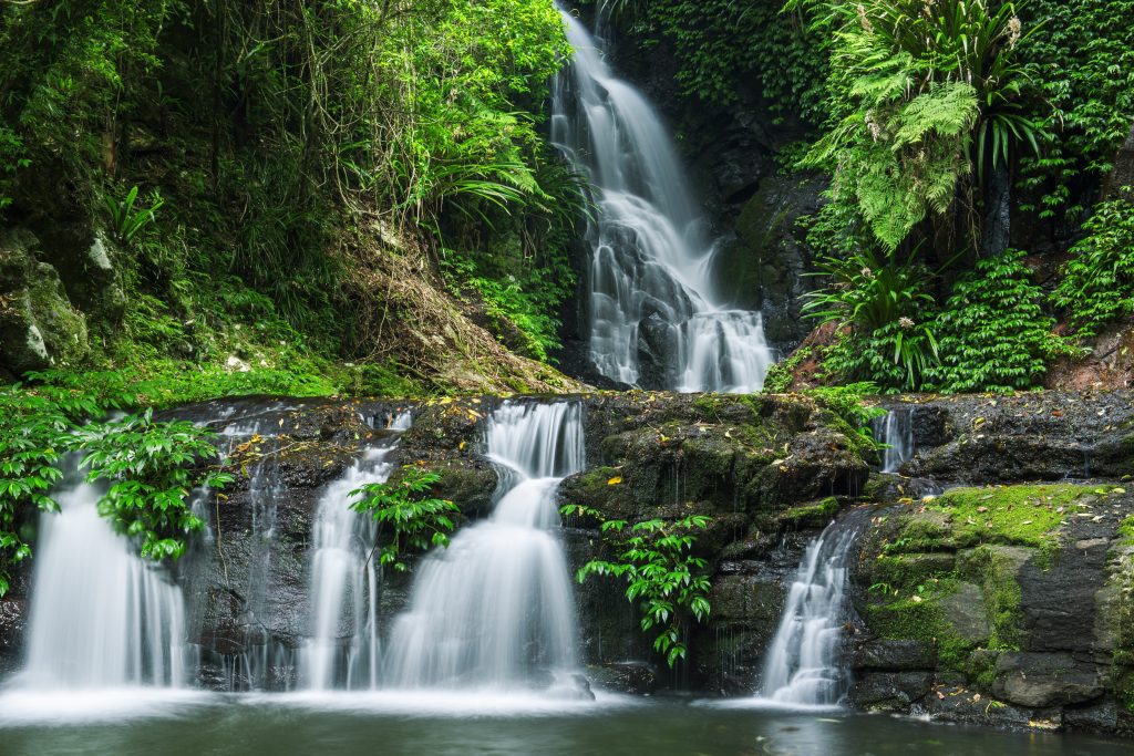
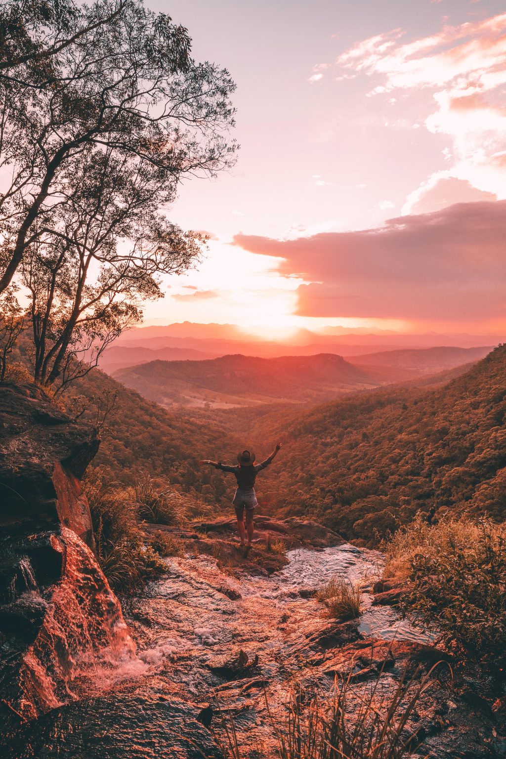
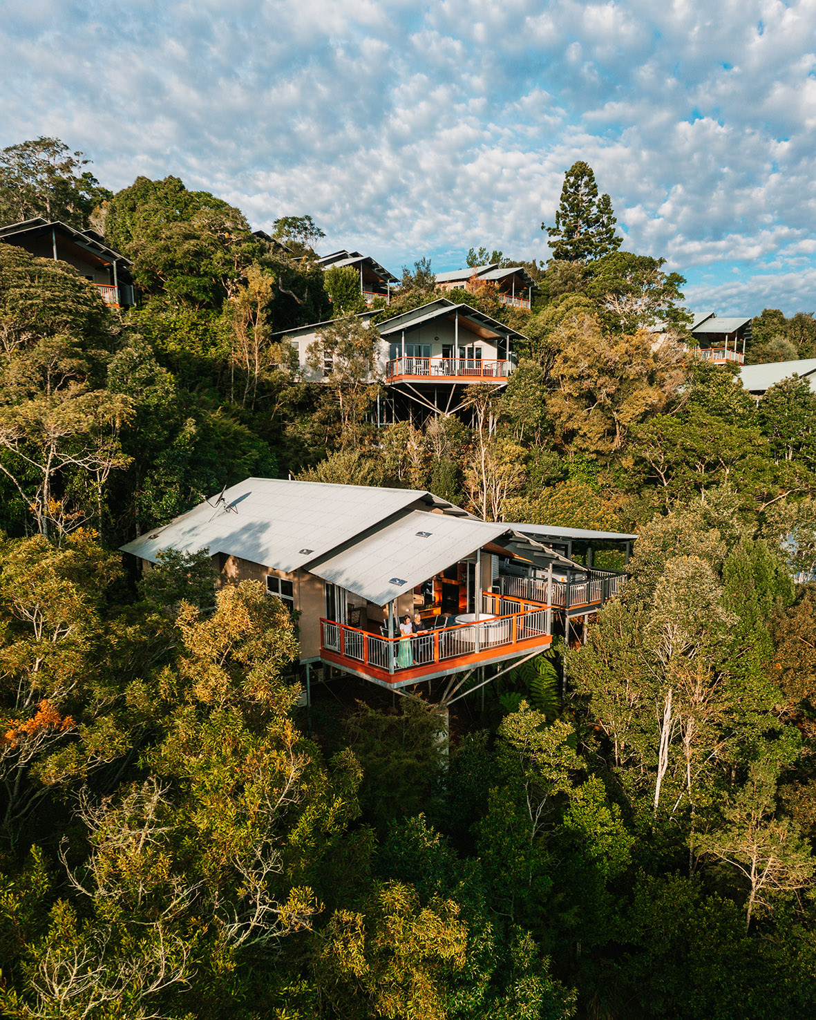
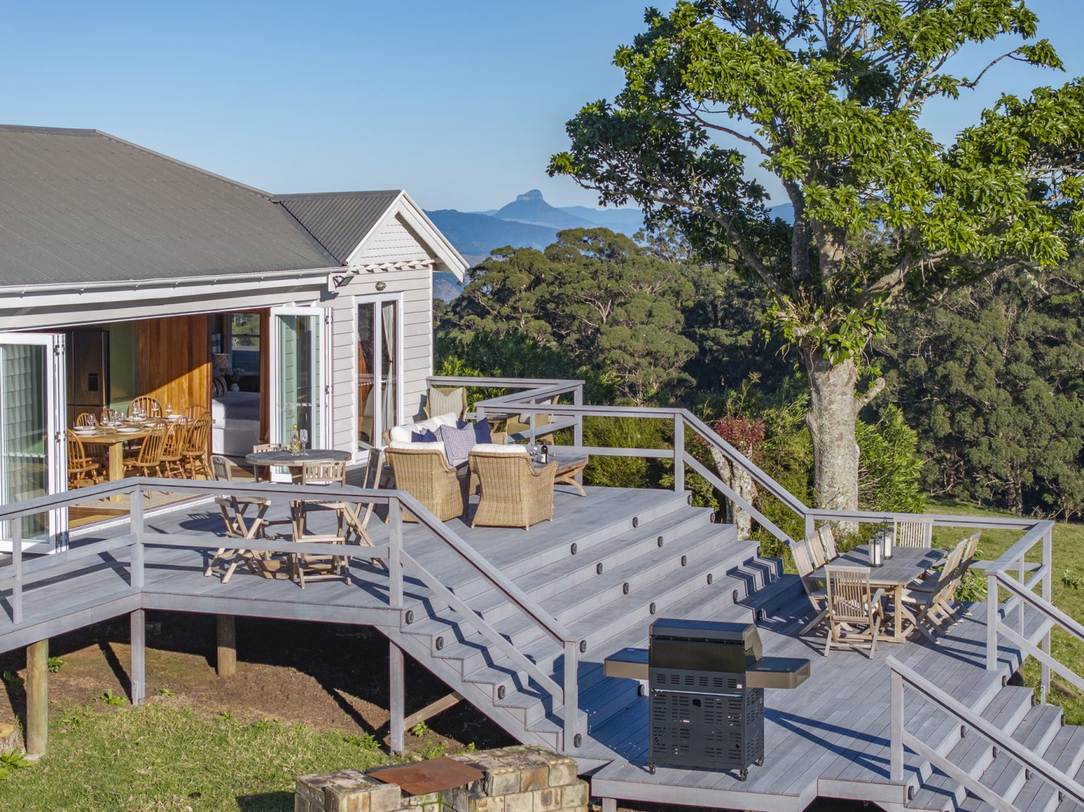
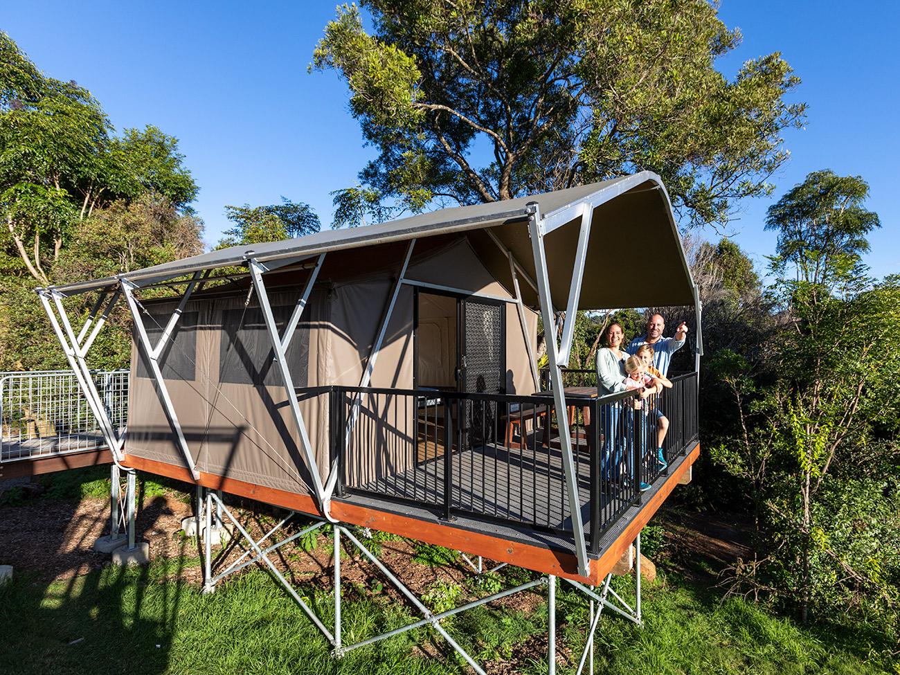
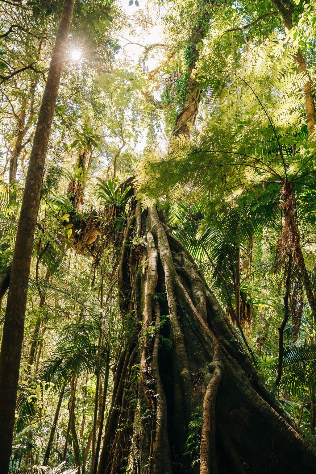
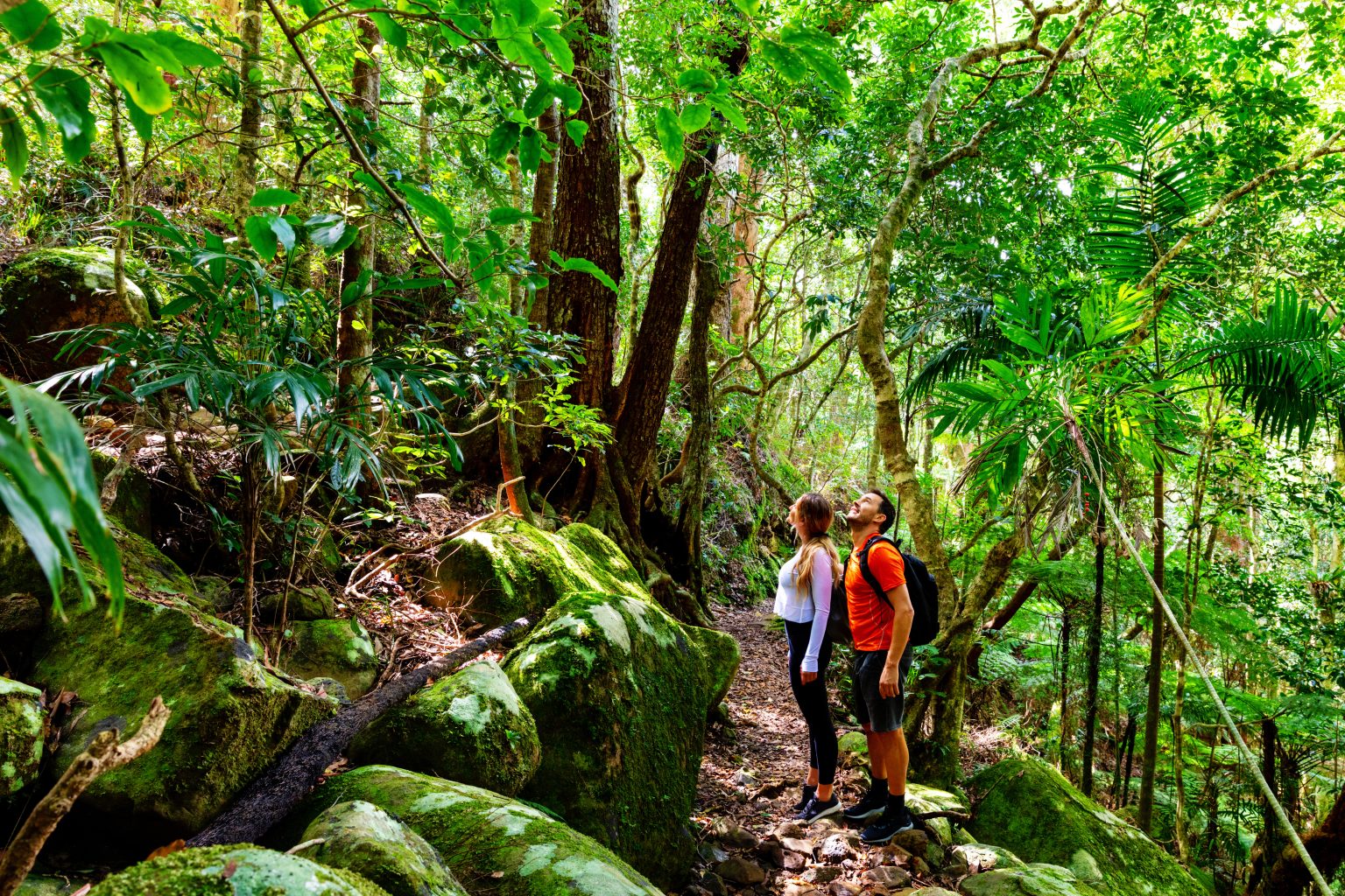
Discover ancient Gondwana rainforest, cascading waterfalls, sweeping escarpment views and remarkable wildlife on more than 160 kilometres of walking tracks throughout Lamington National Park. From gentle rainforest strolls to full-day hikes, O’Reilly’s is the perfect base for exploring this World Heritage landscape. Guests can walk independently, join a scheduled guided walk, or arrange a private guiding experience tailored to their interests, pace and sense of adventure.
Discover our walking trails below.
Quick Links:
Get Trail Ready
Lamington National Park sits nearly 1,000 metres above sea level, making it 5–8°C cooler than Brisbane or the Gold Coast. With mountain weather known to change in a heartbeat, it’s always best to pack a jumper and wet-weather gear. Sturdy, closed-in shoes with good grip are essential, as tracks can become slippery after rain.
Before you set off, pack a few essentials to help you stay comfortable and prepared during your walk:
- Water
- Snacks or lunch
- Sunscreen and insect repellent
- Hat and lightweight rain jacket
- Small first-aid kit, blister care and walking pole for longer walks
- Long socks or tights and salt or spray to repel leeches
- Dry bag for phone or camera
If you’re staying as a guest of O’Reilly’s, please fill out the walker’s log book in the discovery centre before you go. Mobile reception can be unreliable, so it’s a good idea to walk with others or carry a personal locator beacon (PLB). On average, allow 15–20 minutes per kilometre and start early for longer walks.
Always stay on signed tracks, take care near waterfalls and creeks, and always leave no trace – take everything you bring to help preserve the park’s beauty for future generations.
Short Walks
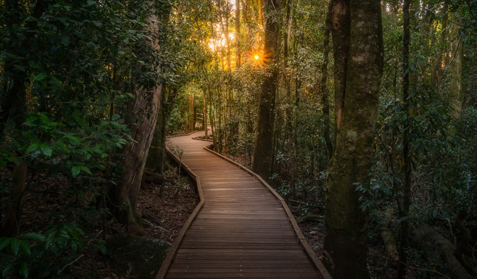
Suitable for beginner bushwalkers, short walks are perfect for a morning or afternoon stroll. Wander through the trails, breathe in the fresh mountain air and soak in the beauty around you.
These family-friendly short walks are suitable for little explorers, offering the chance to spot native wildlife, marvel at ancient trees and enjoy the rainforest no matter your age or fitness level. With well-marked tracks and plenty of spots to rest, these walks are a wonderful way to slow down and connect.
You’ll find the Booyong Walk, an iconic Lamington experience, located directly opposite O’Reilly’s Reception just outside the Rainforest Retreat guesthouse.
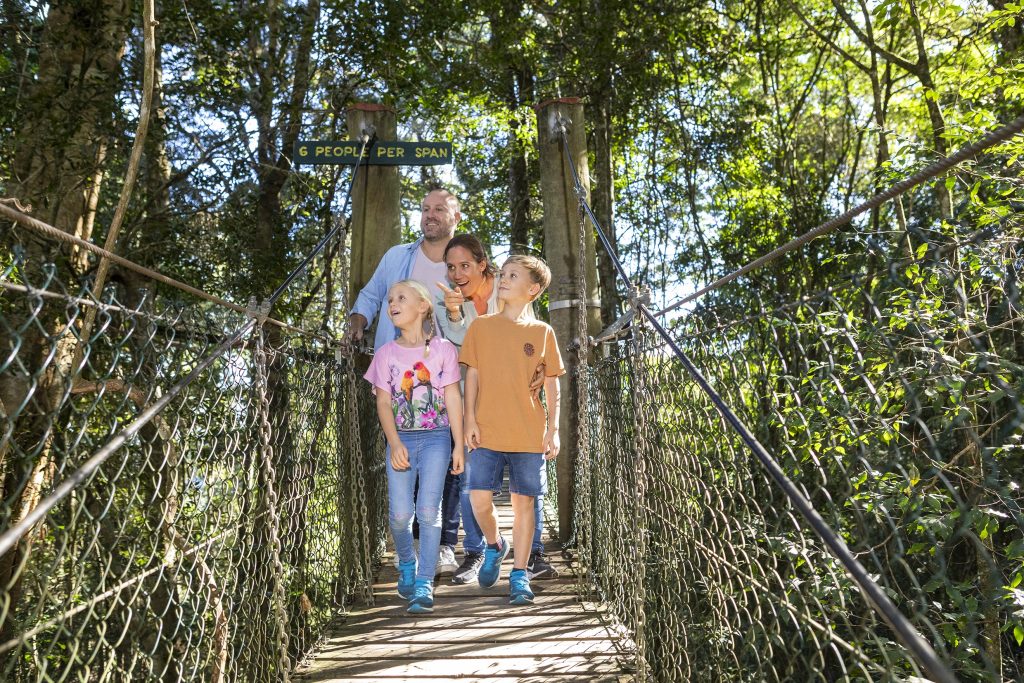
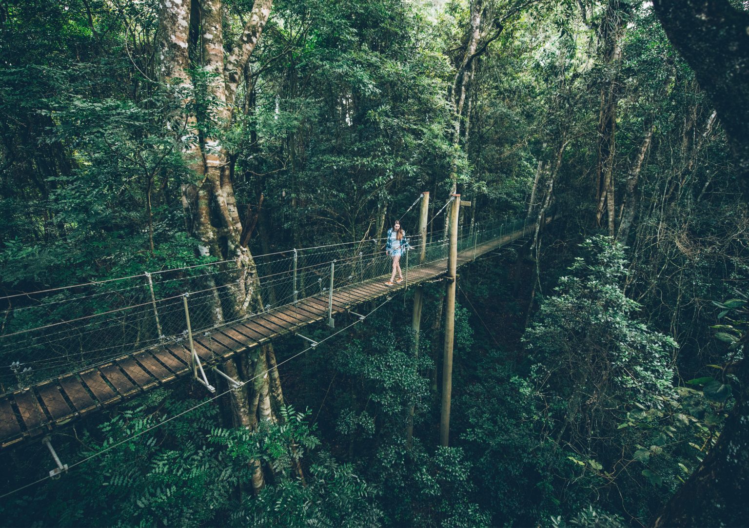
The Tree Top Walk consists of nine suspension bridges, reaching up to 16 metres above the ground, with a spectacular bird’s-eye viewing deck 30 metres high in a fig tree canopy. Open to both the public and in-house guests all day, every day, it’s free to enjoy in your own time.
For the best birdlife sightings, visit early in the morning or late in the afternoon.
Watch the video and learn about the vision behind the walk and construction here.
The Wishing Tree Track entrance is located below the main guesthouse accommodation. The track winds past large Brush Box and over a tree fern gully spanned by a suspension bridge. On this track you can turn left into Glow Worm Gully or ahead under the Wishing Tree to Morans Creek.
Retrace your steps for the easiest way home, or extend your walk by following the track downstream to return by the Red Road (2.5 kilometres) or Moran’s Falls (5 kilometres).
To find Mick’s Tower, start at the same entrance as the Wishing Tree Track and follow the trail for 330 metres. Take a sharp right at the track junction for 120 metres. This rainforest observation tower is 18 metres high. Look for the information signs on each deck, telling the story of the rainforest around you and point out a striking Red Carabeen tree growing nearby.
This is a beautiful spot to enjoy the tranquility of the rainforest canopy with only the birds for company.
This track leaves from the northern end of the carpark, 150 metres from the national park information centre. The track passes through tall hoop pine at the entrance and slowly descends through subtropical rainforest for 900 metres to join the trailhead of the Python Rock and Morans Falls tracks. Bench seating along the track offers excellent birdwatching opportunities. Watch for regent and satin bowerbirds darting through the branches, logrunners foraging on fallen tree trunks and Albert’s lyrebirds scratching in the leaf litter.
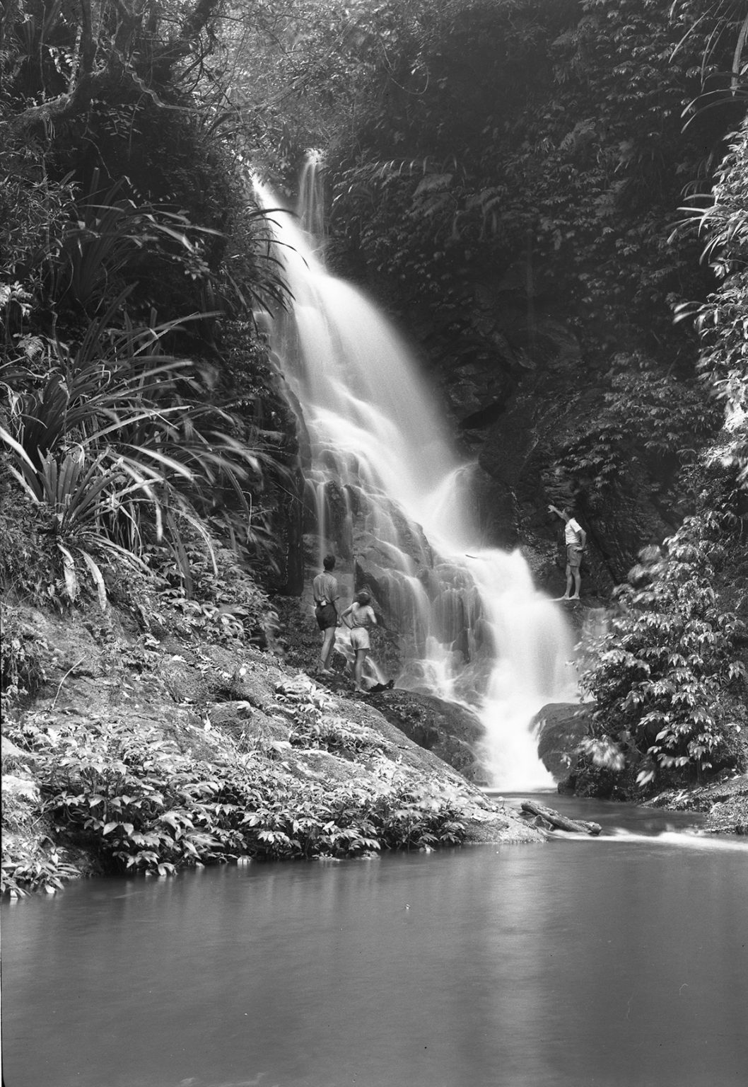
The track descends 140 metres through a sub-tropical rainforest of booyongs, figs and brush box to Morans Falls Lookout. Follow the track for another 400 metres and you’ll arrive at a peaceful picnic area overlooking the top of the falls.
This was the site of a bark hut, the first home of the O’Reilly brothers when they arrived on the mountain. Go through the entrance above the picnic area if you wish to return by the Red Road or to extend your walk – refer to the Moonlight Crag or Balancing Rock walks.
The sealed track to Python Rock has even grades and is suitable for beginner hikers. The Booyongs and Figs near the West Cliff turn off are impressive as are the large New England Blackbutt as you enter the open forest for the first time. The view from Python Rock overlooks Castle Crag to the Lost World with Mount Throakban on the left and Moran’s Falls. You can follow the trail up the hill from the lookout on a tough track and turn left for West Cliff.
Half Day Walks
Spend half a day exploring the unique beauty of Lamington National Park. These longer trails take you deeper into the rainforest, offering a little more of a challenge for those with a moderate fitness level.
Wander beneath the trees, cross cool mountain creeks and enjoy the chance to explore more of this stunning World Heritage-listed landscape.
These walks are not on graded tracks and involve some hill climbing.
From the track entrance off the Red Road, follow the track downhill to the Red Cedar tree, then take a sharp right and cross the creek. At the next junction, take the left hand road (the track to the right leads to Moran’s Falls).
Proceed up the hill from where the road turns sharp left and follow the power line to Balancing Rock. Keep to the road for Moonlight Crag and continue downhill for 150 metres from where the road ends for Moonlight Crag Lookout. Follow the track back down the hill and keep to the crest of the ridge for Balancing Rock.
The Elabana Falls Track branches off the Main Border Track 1.7 kilometres from the entrance. It descends through a stand of Antarctic Beech and then past the largest Brush Box trees in the National Park.
Turn right at the Box Forest turn-off for Picnic Rock, a favourite lunch spot, but be sure to continue to Elabana Falls 400 metres further on.
The West Cliff Track branches to the right from the Python Rock Track and then immediately sharp left past a Black Booyong with extensive buttressing and a tall Hoop Pine 30 metres further down the track.
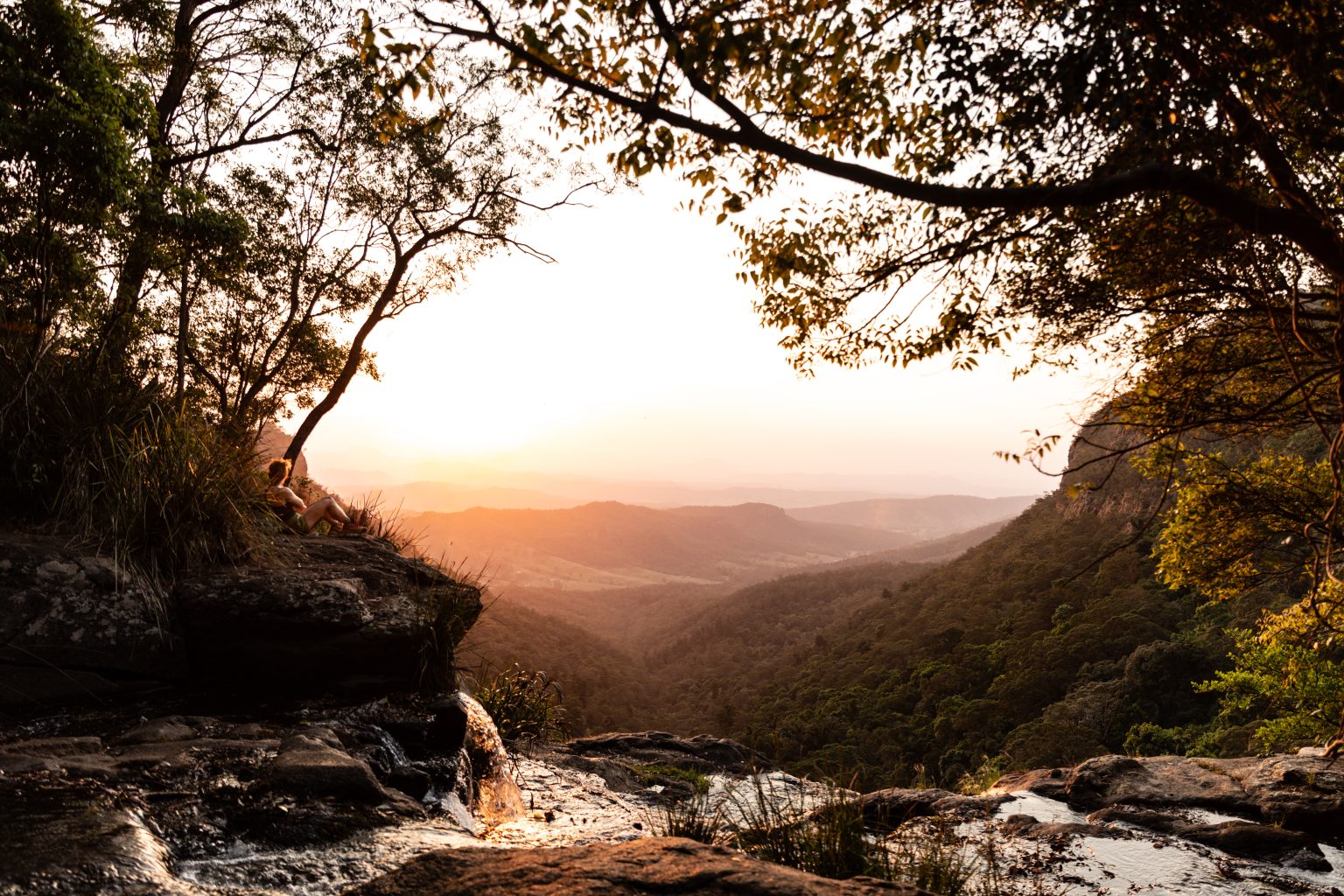
Pat’s Bluff affords a view over the Albert and Logan River valleys to the Great Dividing Range. Follow the cliff line down past a view of Raining Cliff to the picnic area. Pat O’Reilly’s log cabin is 70 metres in from this spot. Peregrine Falcons nest in caves in these cliffs and often rest in the dead trees above the cliff line.
Full Day Walks
Take on a full-day challenge through World Heritage wilderness, where every trail brings a new discovery. A dream for avid hikers, these full-day walks showcase the best of the World Heritage listed Lamington National Park.
Full day walks require a little extra preparation and planning and demand a higher fitness level. We recommend starting your day early, so there’s plenty of time to return before dusk.
Step into O’Reilly’s history on the Stockyard Track Walk — a full-day guided journey along the rugged route that once connected the O’Reilly family to the outside world. Long before there was road access to O’Reilly’s, this historic trail was the main passage for guests, supplies and packhorses travelling to the mountain, shaping the story of O’Reilly’s from the very beginning.
Beginning at Luke’s Farm, the walk descends through open eucalypt forest, into the cool embrace of the rainforest, and on through the Kerry Valley below. Along the way, guests will hear remarkable stories of pioneering endurance, mountain life and the extraordinary efforts it took to build a legacy in this remote and beautiful landscape.
This full-day guided walk covers 8 km of downhill terrain, taking around 8 hours with guided storytelling and a lunch stop. Includes a bus return.
This circuit branches from the Border Track (3.2 kilometres from the trailhead) and leads directly to Picnic Rock and Elabana Falls. It leads you through rainforest, past impressive stands of smooth, pink-barked Brush Box Lophostemon confertus, before reaching the falls. Similar Brush Box in other parts of the World Heritage area have been radiocarbon-dated at 1500 years, making these giants the oldest ever carbon-dated trees on Australia’s mainland.
If you intend walking this entire circuit, walk in a clockwise direction and exit via Elabana Falls and Picnic Rock.
The Main Border Track to Mount Bithongabel climbs 240 metres: observe the change from sub-tropical to temperate forest. The typical buttressed trees such as Figs, Giant Stinging Trees and Booyongs are gradually replaced by the small-leaved temperate species. Good examples of Antarctic Beech are growing in the area around Mount Bithongabel.
The view from Bithongabel Lookout allows one to trace Bernard O’Reilly’s journey when searching for the lost Stinson in 1937, along the McPherson Range to the West as far as Mount Throakban.
Continue past some large tree ferns on the left to Toolona Lookout where you can take in the views of Mount Warning and Murwillumbah. The Beech trees are a rewarding sight, even when the view is obscured by mist.
(There is a 400m drop in elevation from O’Reilly’s to Blue Pool)
The West Canungra Creek track branches left from the Main Border Track – 230 metres from the entrance and winds down through outstanding sub-tropical rainforest. The track passes through stands of Red Cedar, Booyong, Giant Stinging Trees and Hoop Pine, often supporting large Staghorns.
If returning via Canungra Creek Circuit – it is a good idea to lunch upstream from Yarralahla to shorten the afternoon walk. This gives you more time to appreciate the waterfalls and rainforest, and to negotiate the numerous creek crossings. At the next junction, you have the choice of returning via the Box Forest or Elabana Falls.
Connecting the Binna Burra and O’Reilly’s sections of Lamington National Park, this track passes through warm and cool subtropical, and warm and cool temperate rainforest.
The Border Track is the backbone of this World Heritage-listed area and part of the longer Gold Coast Hinterland Great Walk. On a clear day, lookouts provide spectacular views and during winter months, you may hear the loud ringing call of the Albert’s lyrebird. Visit the National Parks website for news updates and track information.
The Border Track that connects the O’Reilly’s and Binna Burra sections of Lamington National Park is CURRENTLY OPEN – Regular bus transfers ($35 per adult) from O’Reilly’s to Binna Burra run every Saturday at 7:45am, so you can walk the 21.4 kilometre track back to O’Reilly’s at your own pace (self-guided). Bookings must be made by 6pm the previous night through Reception or the Discovery Centre.
Proceed to Picnic Rock and 200 metres further on, the Toolona Creek Track branches to the right, climbing 360 metres past waterfalls and sub-tropical rainforest trees decked with lush tree gardens.
The track enters the Antarctic Beech forest near Wanungara Lookout – a favourite lunch spot – 100 metres to the left from the junction with the Main Border Track.
Wanungara Lookout offers sweeping views across Limpinwood Valley and Murwillumbah, stretching all the way to the sea and as far south as Byron Bay. Mount Warning dominates the view to the right, while to the left, the ranges roll away toward Point Lookout on Stradbroke Island.
The 7.6 kilometres trek home via Mount Bithongabel is mainly downhill and takes you past some lookouts and impressive old Beech trees. This walk can be done anti-clockwise, allowing you to better appreciate the beauty of the tree gardens as you descend along Toolona Creek.
The Albert River Track branches to the right from the Main Border Track 4.5 kilometres from the entrance. Some good specimens of Antarctic Beech grow on top of the climb where the track branches to the right. The following long descent ends where Lightning Falls drop into Black Canyon.
The track follows the Albert River up through temperate rainforest dominated by Coachwood with light coloured bark and the rough barked Antarctic Beech. This area is noted for its diversity of fern life.
Across the valley on the right from Valley of Echoes Lookout, are Mount Wapawn and Mount Durigan. A distinctive feature of these border ranges is the rainforest growing along their steep slopes.
Mount Warning is an old volcanic plug ending the reign of the giant Mount Warning Shield Volcano 23 million years ago. The remains of the rim still surround the crater (the Tweed Valley) on three sides and is visible from Mount Cominan Lookout. Behind, and to the right of Mount Warning, the Nightcap and Tweed Ranges can be seen forming the rim to the South and West joining the McPherson Range to the north.
The track returns to Queensland and to O’Reilly’s via the Main Border Track.
